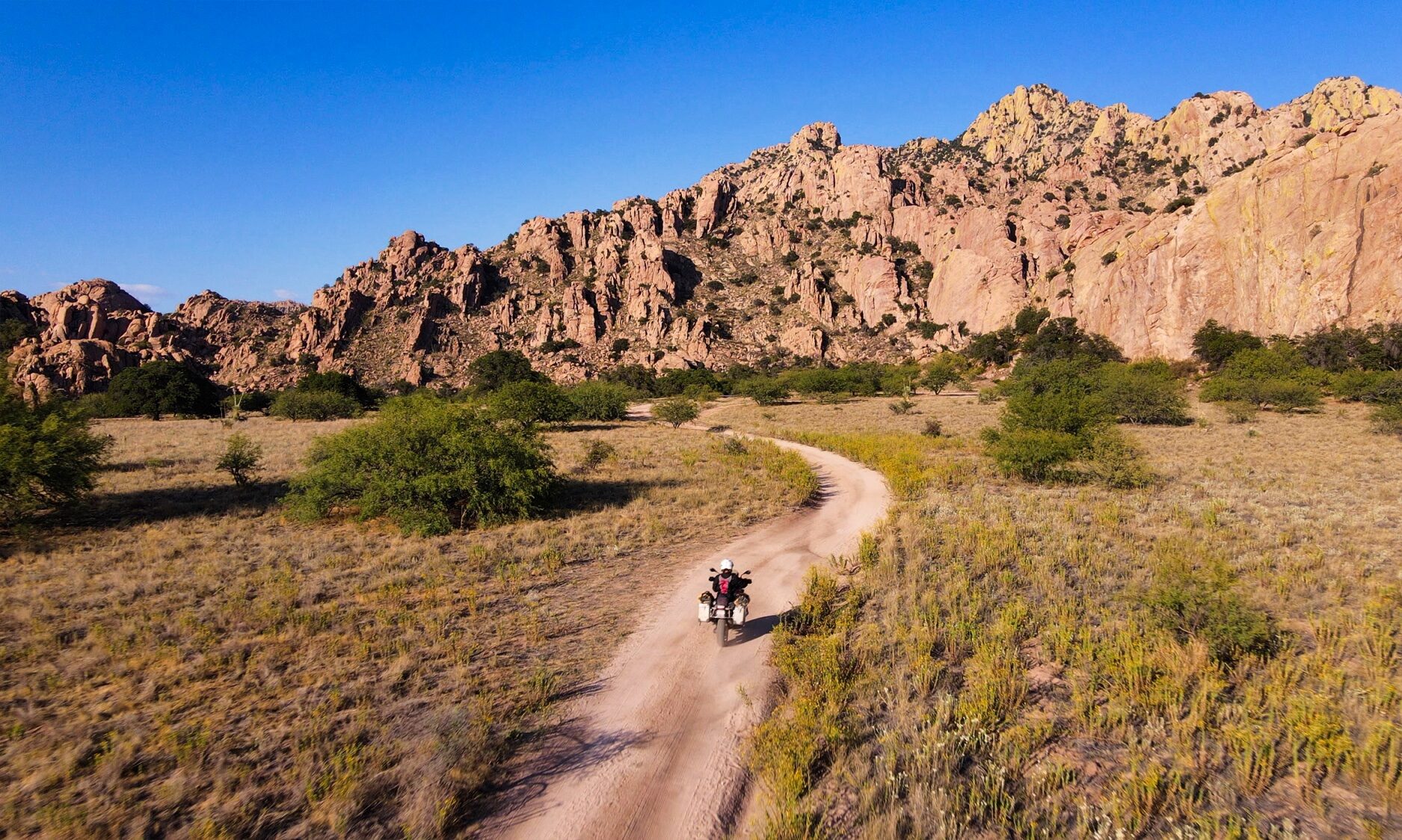
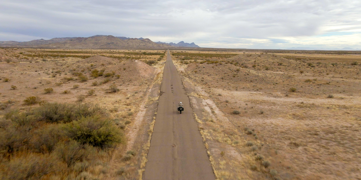
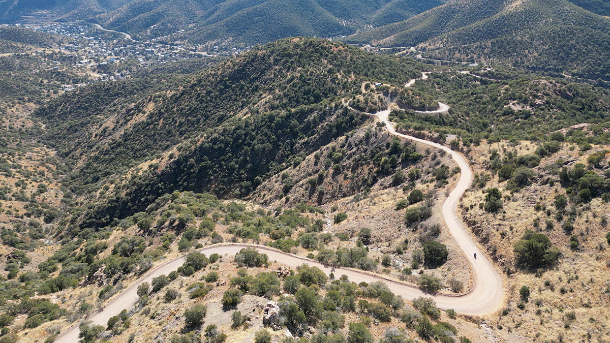
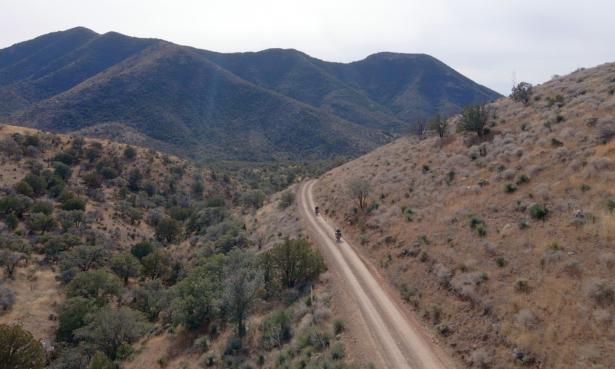
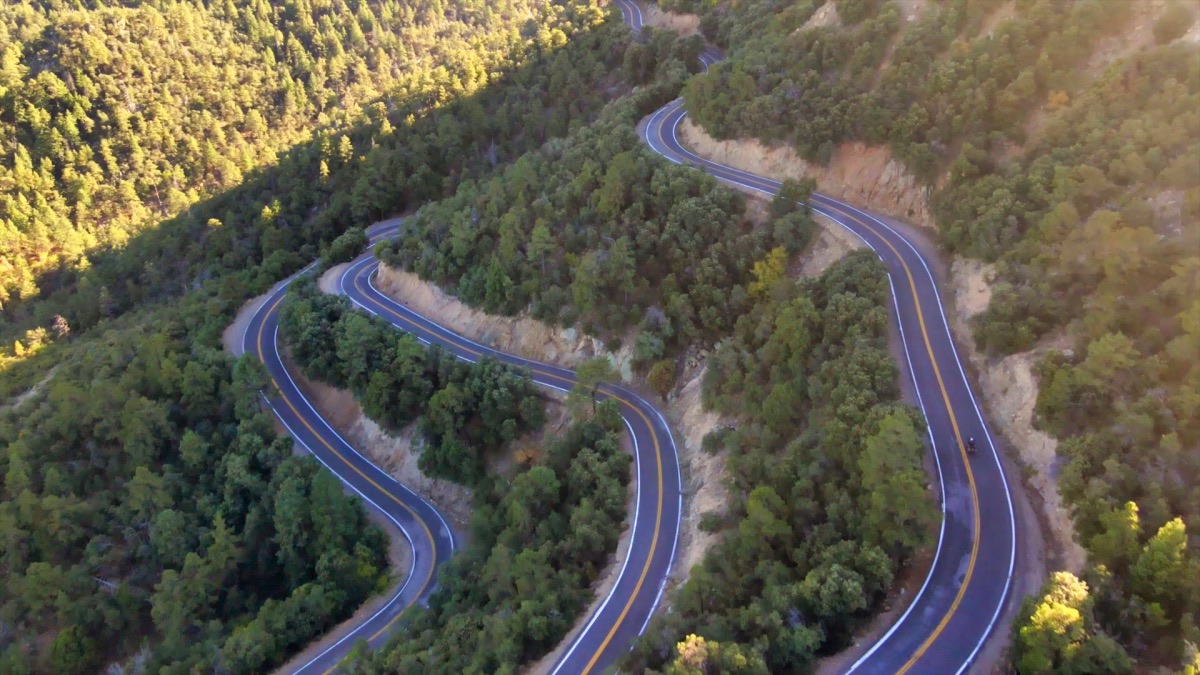
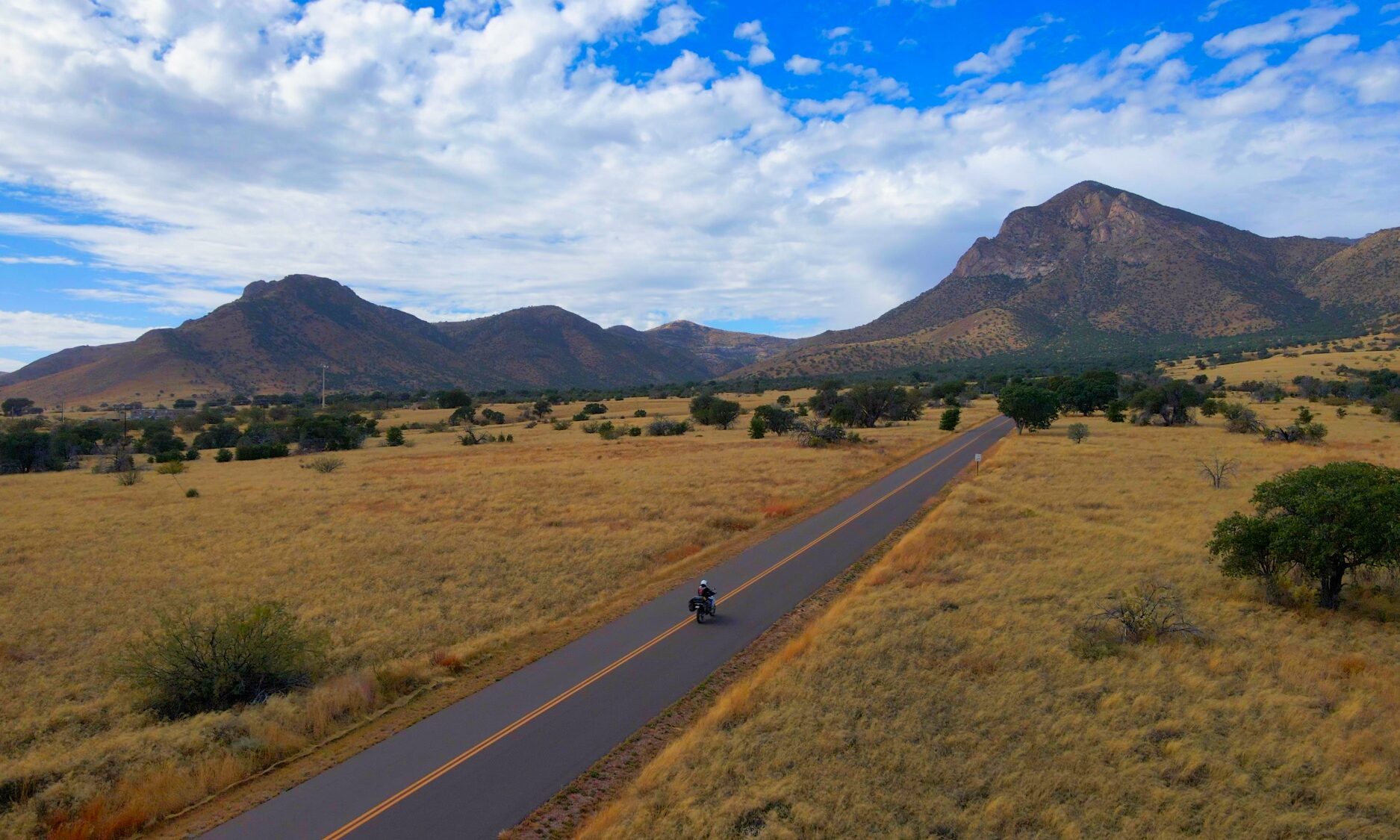
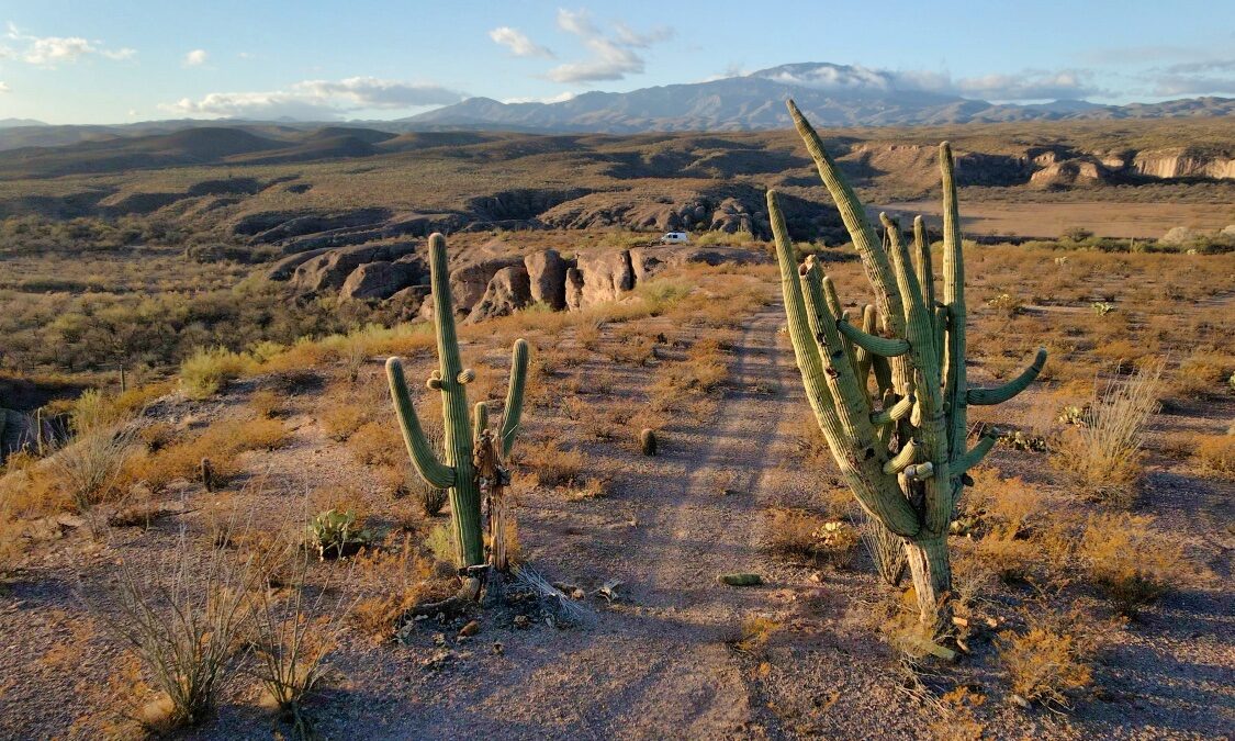
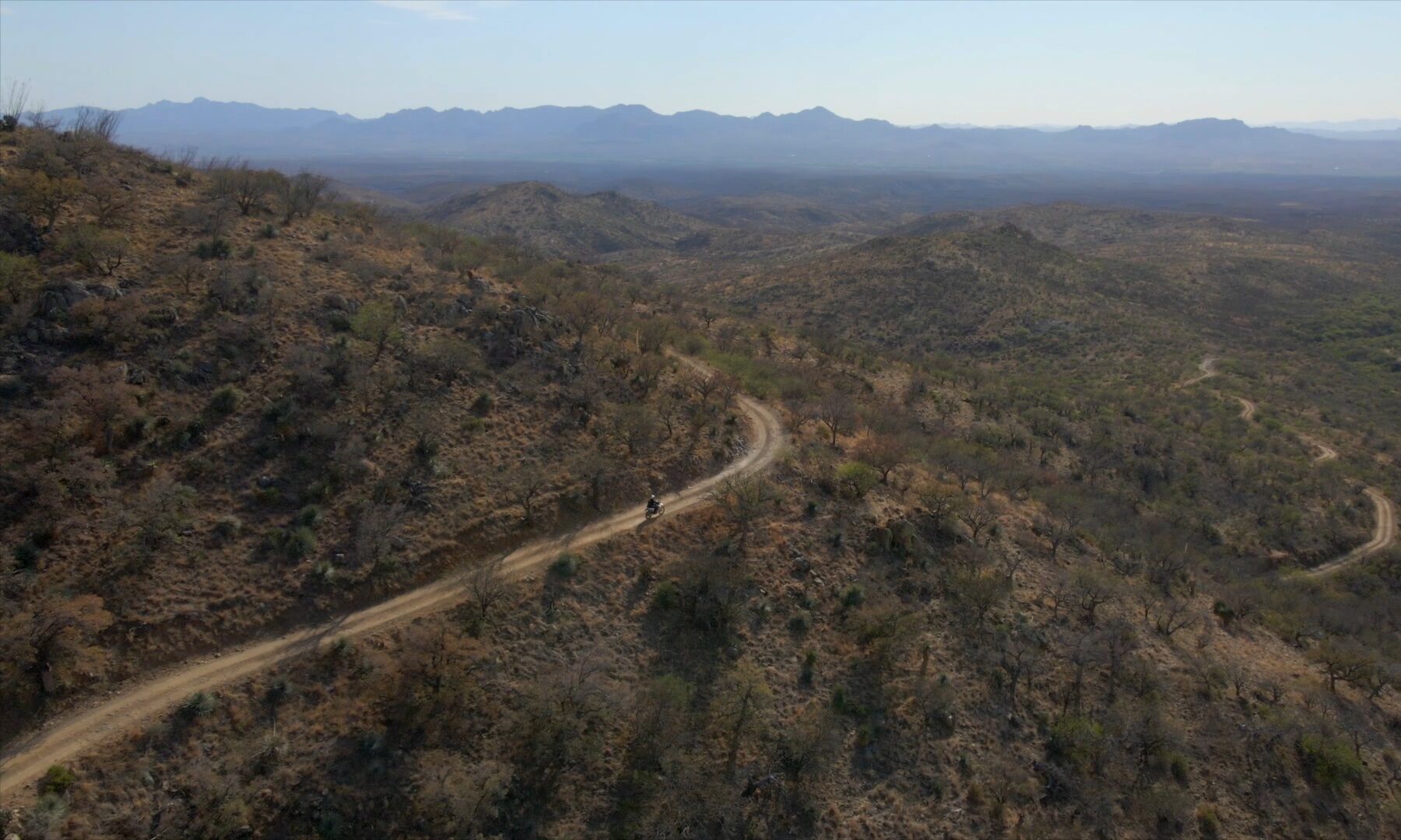
Over 2,500 Miles of Adventure
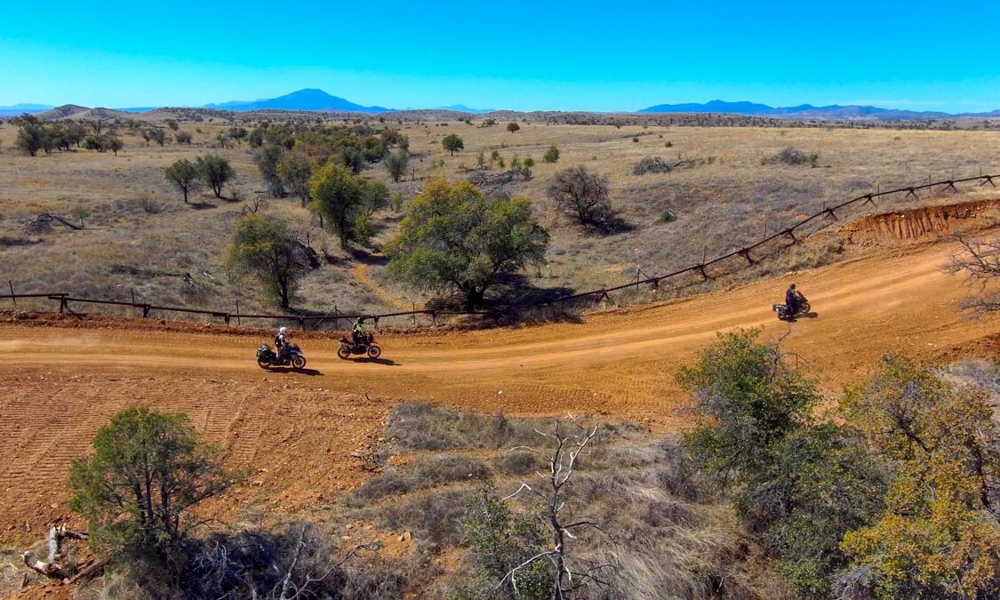
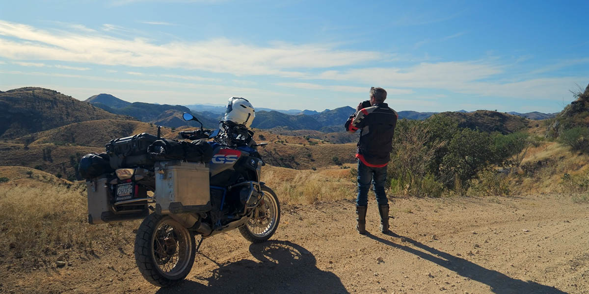
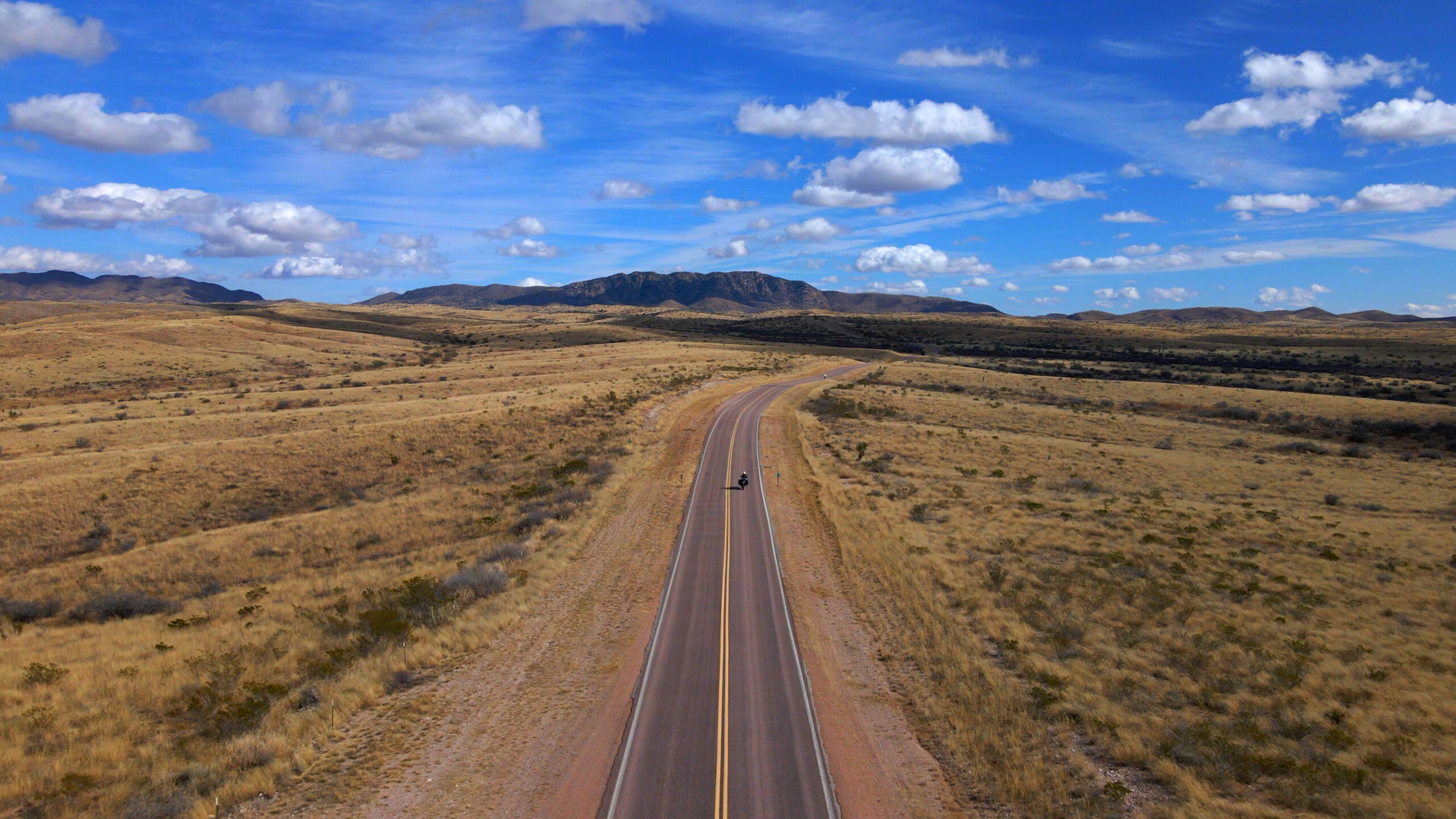
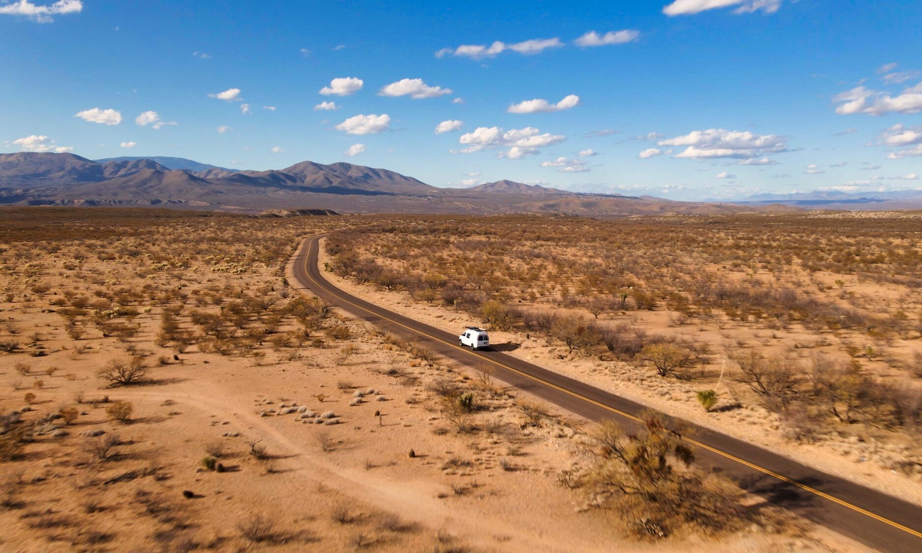
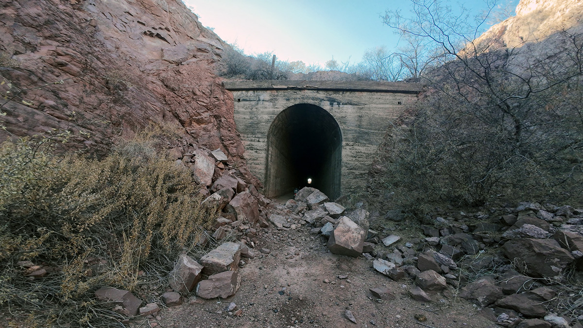
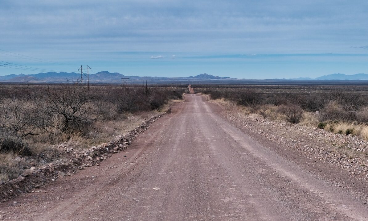
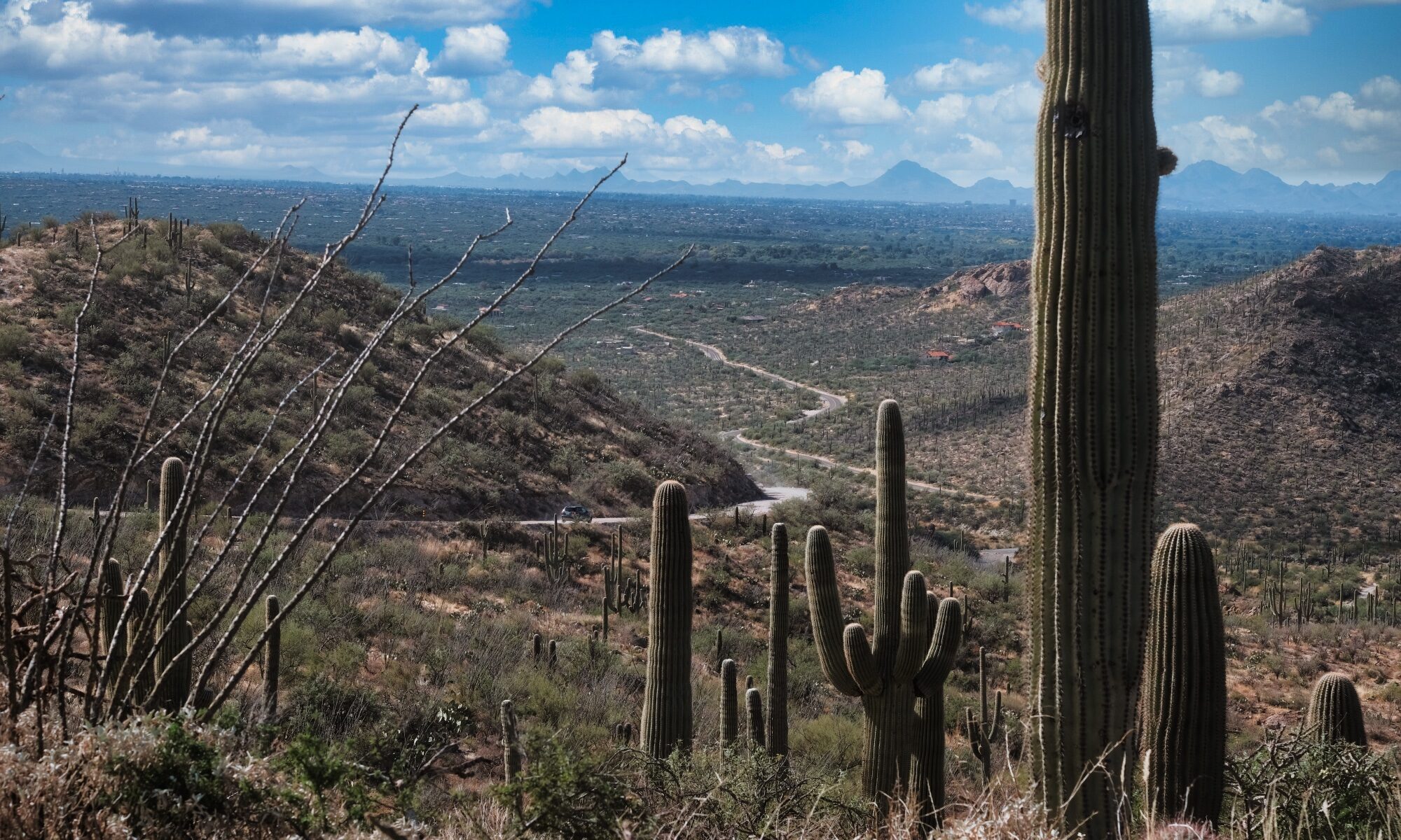
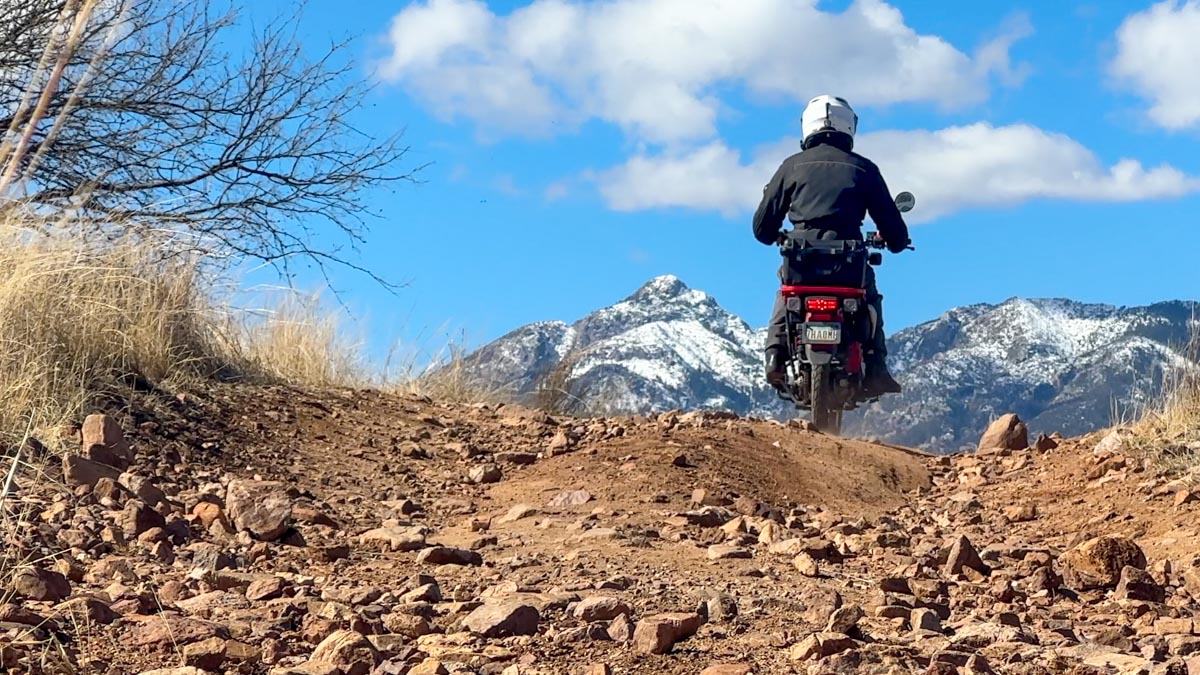
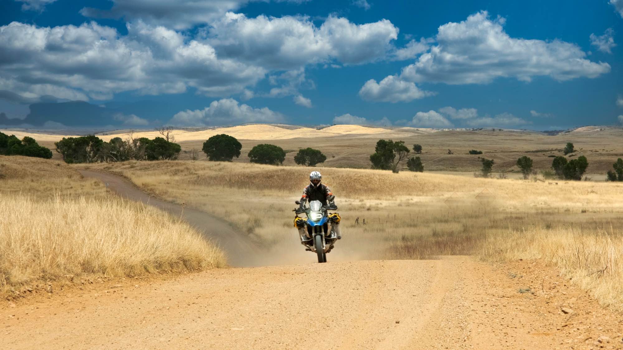
Explore the rugged beauty of the Grand Canyon State with the most comprehensive guide to adventure motorcycling in Southern Arizona. This collection features 25 meticulously curated rides spanning more than 2,500 miles of scenic and historic backcountry terrain. Navigate through a dramatic range of elevations, from the sprawling Sonoran Desert floor to alpine forests and remote mountain ranges. The guides provide essential details for remote gravel roads and challenging technical trails. Each ride includes mileage, elevation notes, and difficulty ratings to help riders plan according to their skill level. Practical information on fuel stops ensures safety in Southern Arizona’s remote areas. These routes are “big-bike friendly” while offering optional “spicy” sections for advanced riders seeking a challenge. For those looking to join organized events, the Desert Adventure Rally in Bisbee (April 7–12, 2026) offers professional training and curated GPS tracks through this same iconic terrain.
Disclaimer
Assumption of Risk: Adventure motorcycling is an intrinsically dangerous activity that involves significant risks, including serious bodily injury, property damage, and death. By using these routes and tracks, you acknowledge that you are voluntarily participating in a high-risk activity and expressly assume all responsibility for any accidents or injuries that may occur.
Dynamic Environments: Backcountry conditions in Southern Arizona change rapidly due to weather, erosion, and land management. A route that was passable yesterday may be impassable today due to washouts, fallen trees, or deep sand.
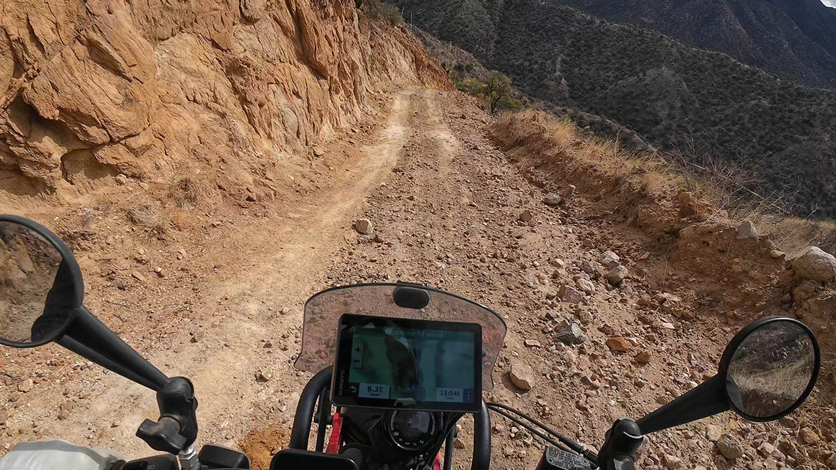
GPS Limitations: Digital tracks are provided as general guides only. GPS data can be inaccurate or outdated; always prioritize your own observations of the terrain and local signage over digital directions.
Skill Level: You are solely responsible for ensuring your skills match the difficulty of the terrain. Do not attempt technical sections that exceed your experience level or your motorcycle’s capabilities.
Self-Reliance: Many of these routes pass through remote areas with no cellular service or immediate medical assistance. You must carry adequate water, fuel, tools, and emergency communication devices (e.g., satellite messengers).
Legal Compliance: Ensure your motorcycle is street-legal, properly insured, and in good mechanical condition. Always follow local traffic laws and respect private property boundaries.
Liability Release: The authors and publishers of this guide are not responsible for any personal injury, death, or property damage resulting from the use of these routes. This information is used at your own risk.
Easy Rides
-
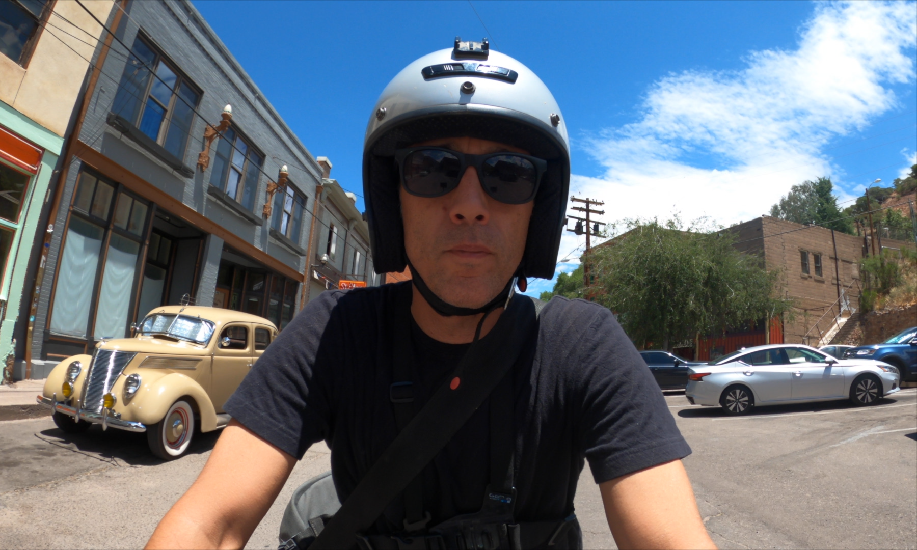
Bisbee Tour Loop
Easy | 17 mile loop – Explore the character and culture of America’s southernmost mile-high city
-
Council Rocks
Easy | 14 mile out-and-back into the Dragoon Mountains and a short hike to Native American petroglyphs.
-
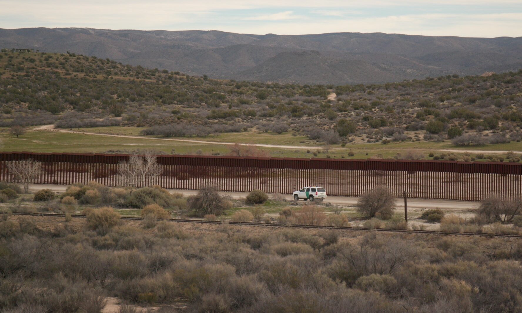
Douglas Border Wall Loop
Easy | 55 mile loop along the US/Mexico border wall
-
Geronimo Trail Loop
Easy | 213 mile loop through the remote SE corner of Arizona and New Mexico
-
Hotwell Dunes Loop
Easy | 277 mile loop to a secluded hot springs in an OHV area
-
Juniper Flats
Easy | 7 miles out-and-back to a cell phone tower
-
Middlemarch-Ghost Town Loop
Easy/Intermediate | 105 mile loop with Gunfighters & Ghost Towns
-
Mount Graham Loop
Easy | 300 mile out-and-back ride up spectacular pavement to the top of SE Arizona’s tallest mountain
-
Parker Canyon Lake Loop
Easy | 135 mile loop – Ride dirt roads to the lake and then pavement back to Bisbee
-
Patagonia Loop
Easy | 148 mile loop – A classic ride through the mountains and grasslands of SE Arizona
-
Ruby Road-Arivaca Loop
Easy | 250 mile loop including Ruby Road to Arivaca
-
Tombstone Loop
Easy | 83 mile loop to the “town too tough to die”.
Intermediate Rides
-
AZBDR Section 1 Loop
Intermediate | 165 mile loop – The first section of the mighty Arizona BDR
-
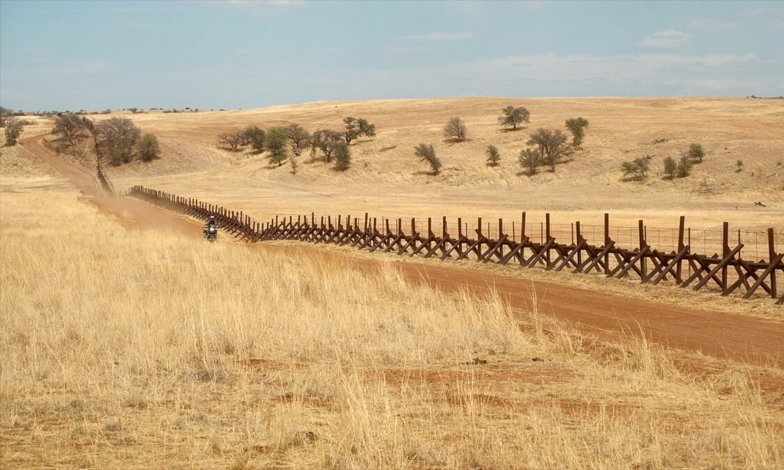
Border Coaster
Easy/Intermediate | 17 miles – Ride along an old fence on the US/Mexico Border
-
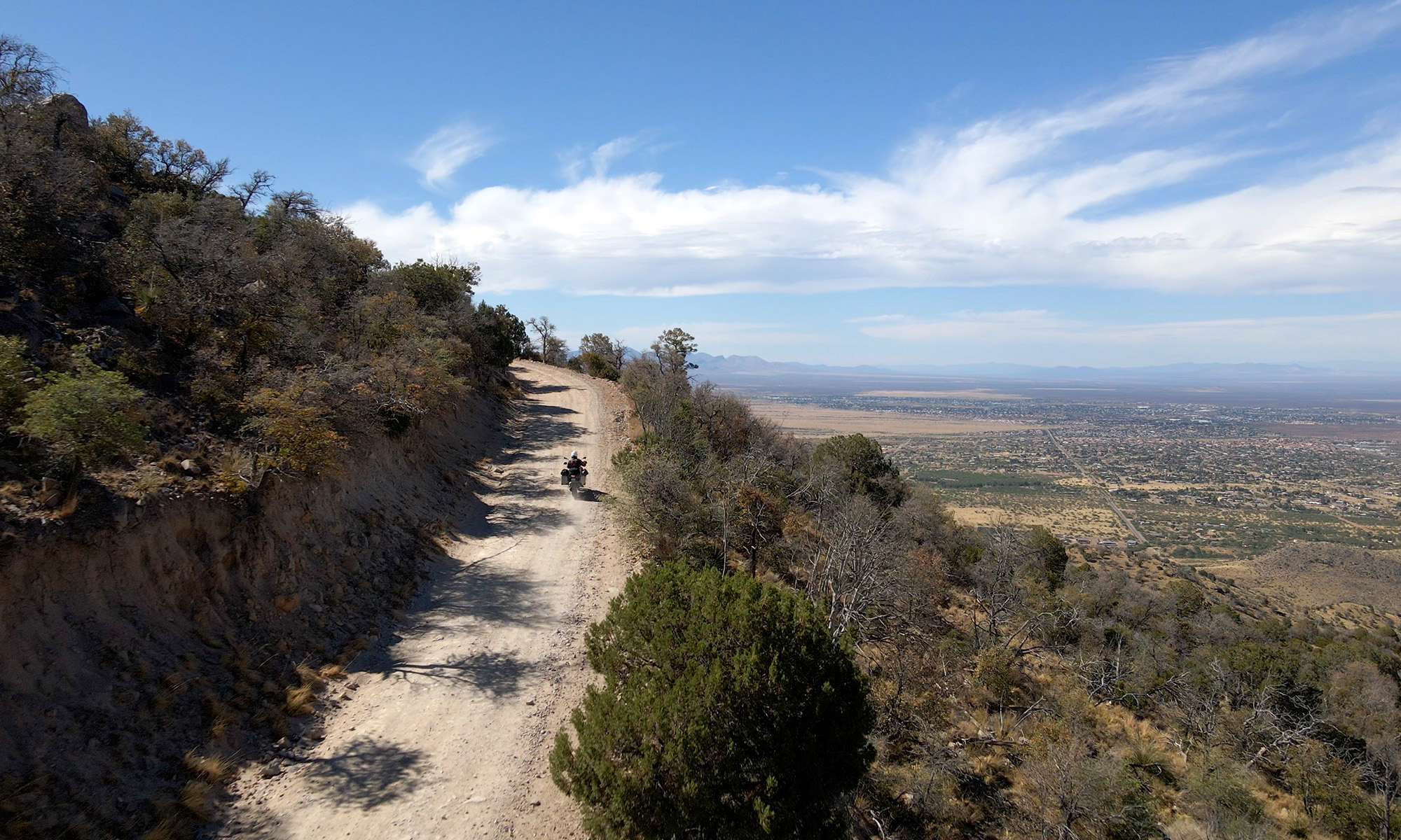
Carr Canyon
Easy/Intermediate | 16 miles out-and-back into the Huachuca Mountains
-
Cascabel-Redington Loop
Easy | 231 mile loop on the back roads to Tucson
-
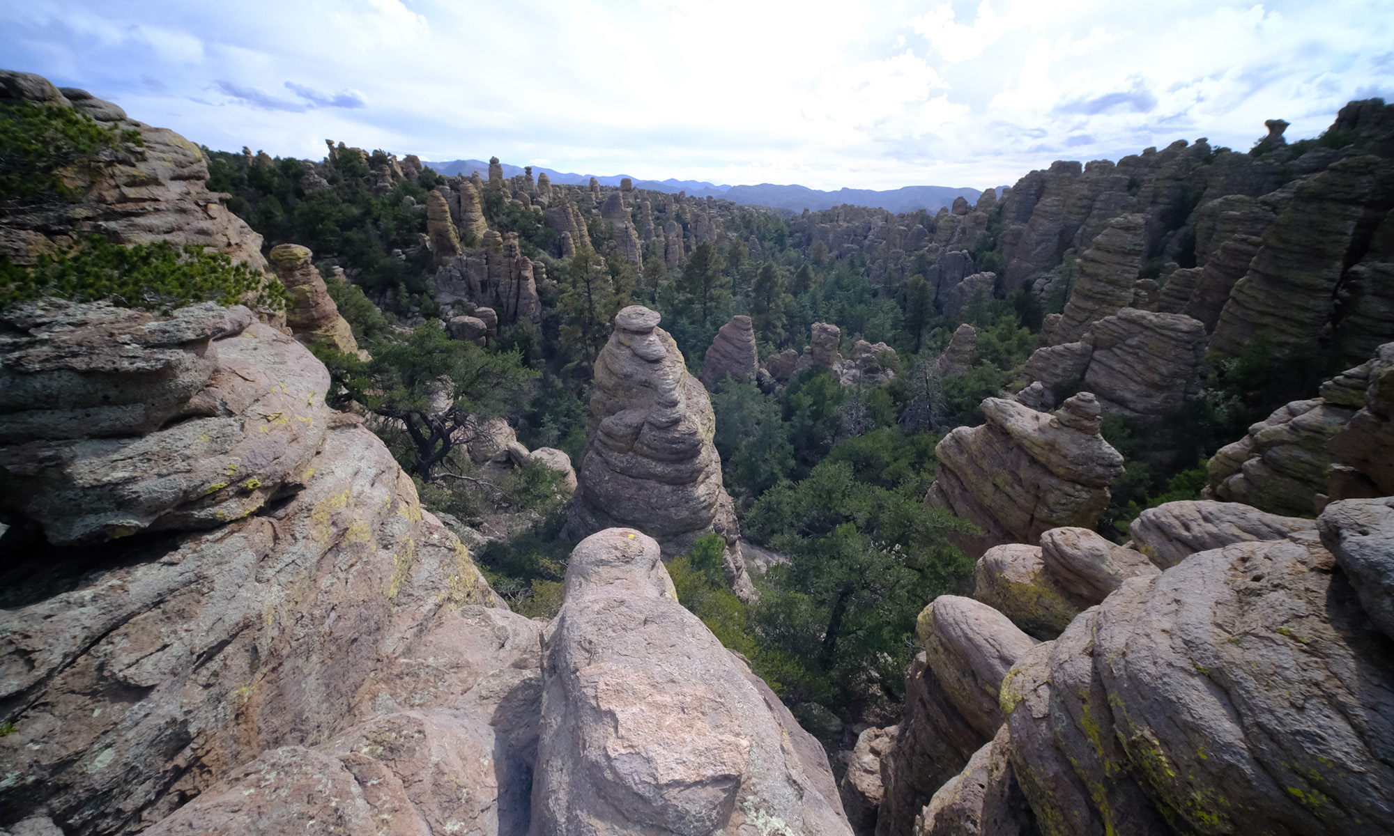
Chiricahua Mountains Loop
Easy/Intermediate | 214 mile loop through the magnificent Chiricahua Mountains
-
Gold Gulch
Easy/Intermediate | 11 mile section of dirt roads in the mountains next to the US/Mexico border
-
High Lonesome
Easy/Intermediate | 11 mile warm up on a moderately challenging road close to Bisbee
-
Mount Lemmon-Redington Loop
Easy/Intermediate | 312 mile loop – An all-day ride up the backside of Mount Lemmon and down the scenic Catalina Highway.
-
Patagonia-Amado Loop
Intermediate | 216 mile loop – A full day of adventure on the dirt roads of SE Arizona
-
Santa Rita OHV Area
Intermediate | 25 mile loop – Explore the Santa Rita Mountains in an Off-Highway Vehicle area
Advanced Rides
-
China Peak
Difficult | 6 mile section – Get gnarly on a steep out-and-back adventure in the Dragoon Mountains
-
Grasslands
Difficult | 32 miles – Epic adventure on remote tracks in the San Rafael Valley
-
Red Hill
Difficult | 8 miles up and down a steep hill
Powered by
The Jonquil Motel
Bisbee’s original vintage motel since 1937