Experience some great backcountry riding on this route through the mountains of Southern Arizona. The one part of this route that is unique to all other routes is the section between Patagonia and Amado.
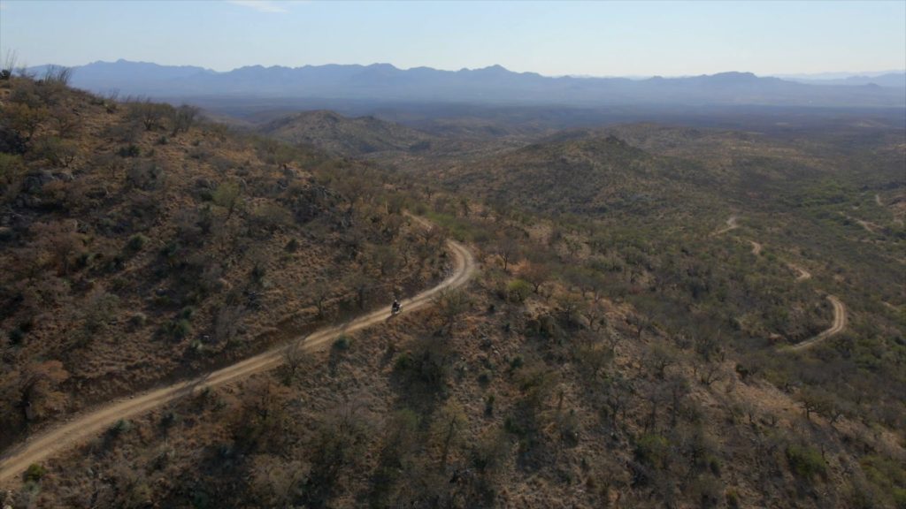
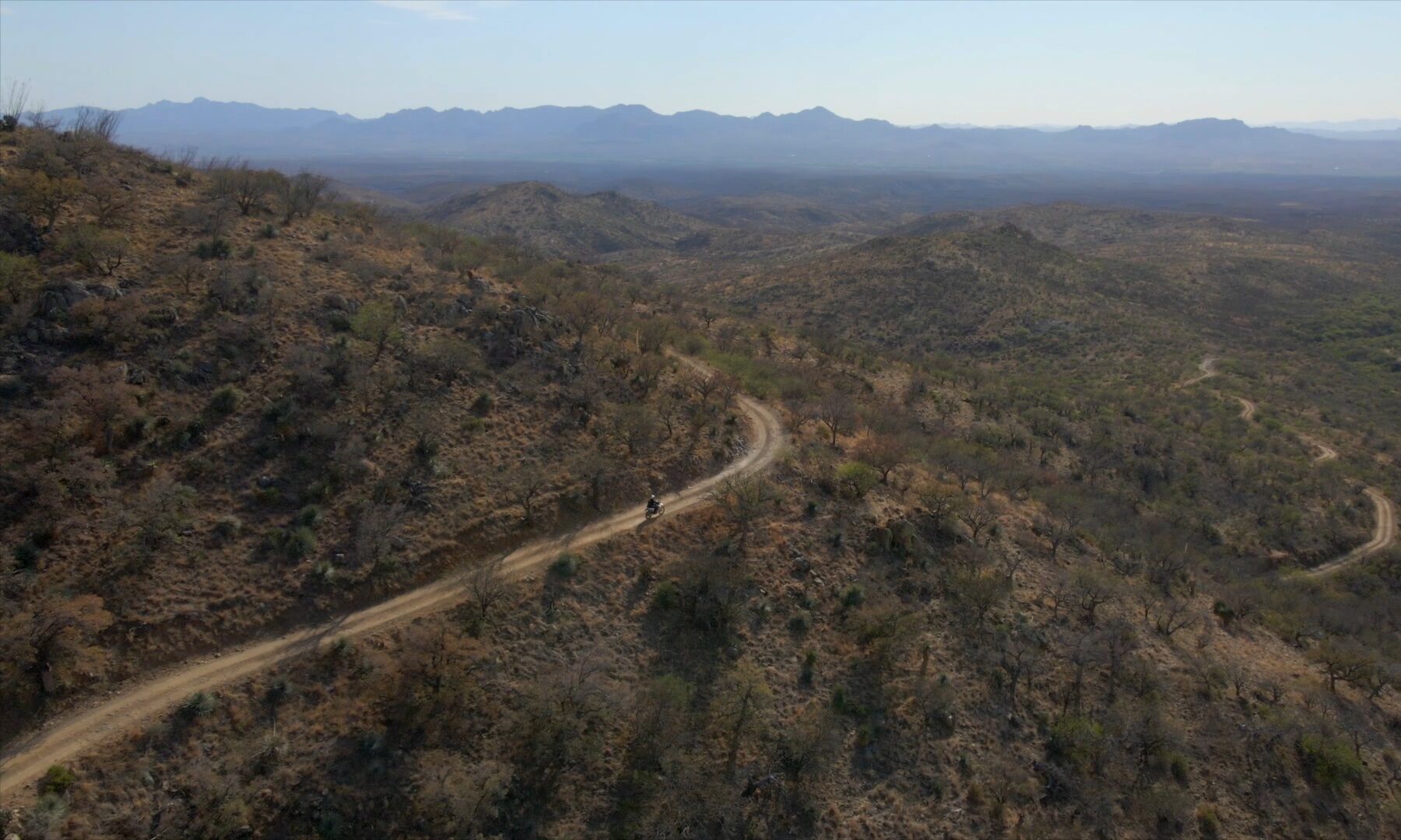
Riding through Salero Canyon (Forest Service Road 143) and Bull Springs Road offers a quintessential Arizona adventure, connecting Patagonia and Amado through a rugged 25-mile corridor.
The route transitions from low-desert grasslands to the lower slopes of the Santa Rita Mountains, climbing to elevations of roughly 5,000 feet. Motorcyclists face diverse terrain that includes graded gravel, loose dirt, and “white-knuckle” shelf sections so narrow that high-clearance vehicles barely fit.
Along the way, the landscape is dotted with remnants of the Old West, including active ranchlands and the striking adobe ruins of the Alto Camp ghost town.
Because this area is extremely remote with minimal cell coverage, riders must be prepared for steep, rocky climbs and occasional water crossings.
Details
- Location: Starts and ends at The Jonquil Motel in Bisbee, Arizona
- Distance: 209 mile loop
- Gas: Bisbee, Palominas, Amado, Green Valley, Whetstone, Tombstone
- Difficulty: Easy/Intermediate/Difficult
- Road Surface: paved, gravel, dirt, rocky, steep, loose, water crossing
- Time: full-day
- Connects to: Border Coaster, Grasslands, Red Hill
Approximate Mileage
- Start – Circle K Bisbee – 0 miles
- Gas – Speedway Bisbee – 5 miles
- Gas – Chevron Bisbee – 5 miles
- Gas – Palominas – 19 miles
- Coronado Visitor Center – 28 miles
- Start dirt – 29 miles
- Montezuma Pass – 31 miles
- Montezuma Canyon Road
- Start – Border Coaster – 32 miles
- Start – Grasslands – 49 miles
- End – Border Coaster – 50 miles
- Lochiel – 57 miles
- End – Grasslands – 66 miles
- Start – Red Hill – 68 miles
- End dirt – 73 miles
- Patagonia, AZ – 78 miles
- Gathering Grounds Cafe – 78 miles
- Start dirt – Salero Road – 79 miles
- Salero Canyon
- Alto Camp
- Bull Springs Road
- End dirt – Interstate 19 – 109 miles
- Gas – Green Valley – 116 miles
- Start dirt – Box Canyon – 129 miles
- Las Cienegas National Conservation Area – 140 miles
- End dirt – 152 miles
- Gas – Whetstone – 166 miles
- Gas – Tombstone – 185 miles
- Mule Pass – 207 miles
- Start/End – Juniper Flats – 207 miles
- End – Circle K Bisbee – 209 miles