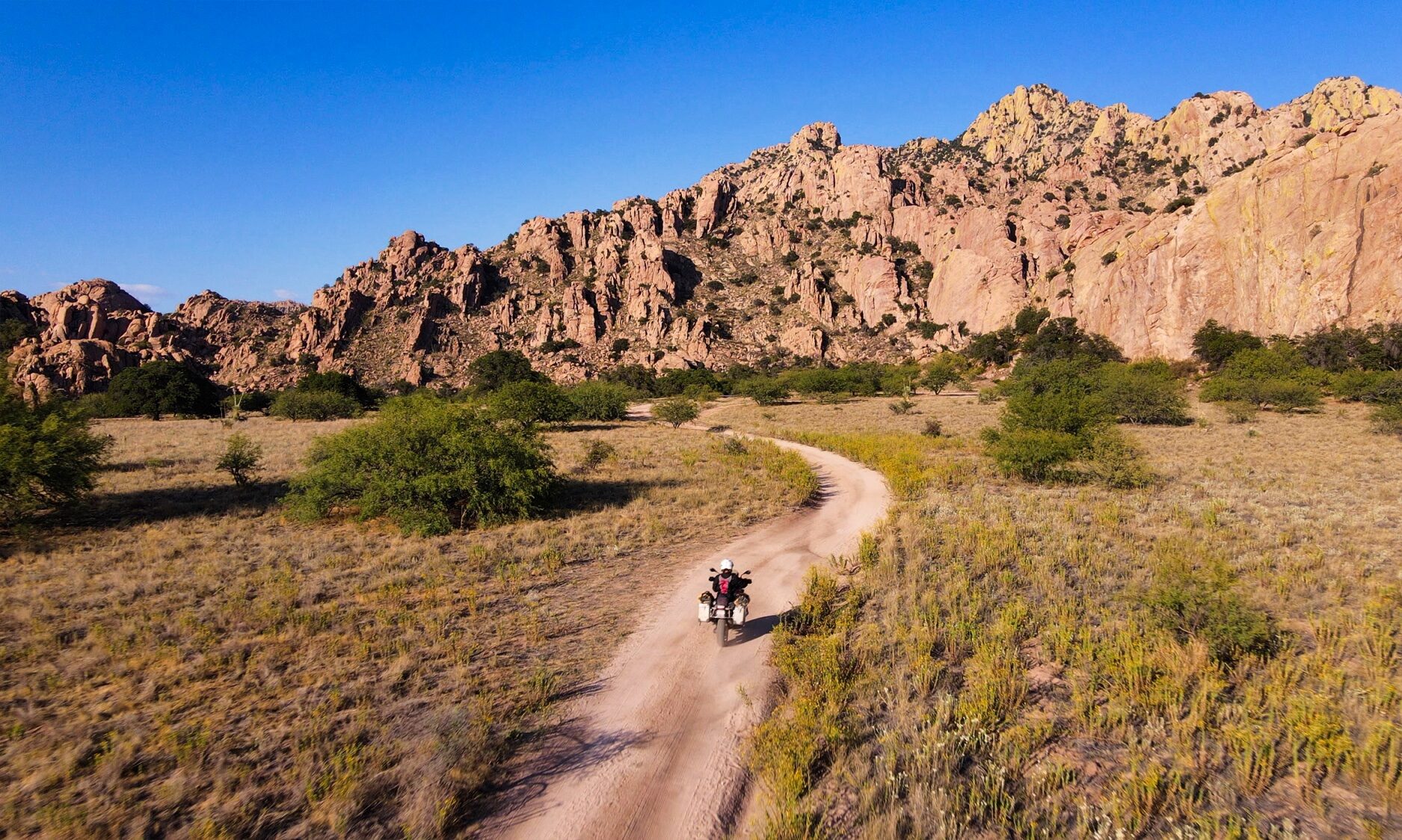
For riders looking to touch the ancient history of the DragoonMountains, the journey from Tombstone to Council Rocks is a compelling mix of wide-open gravel and “storied rocks”.
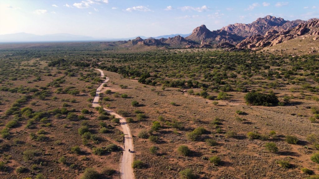
This route takes you into the heart of the territory once held by the Chiricahua Apache leader Cochise and serves as a site of immense historical and spiritual significance. The adventure starts roughly two miles north of Tombstone on Highway 80, where you turn east onto Middlemarch Road (Forest Road 345). Middlemarch is a wide, graded gravel road that crosses a “golden savannah”.
After about 10 miles, you’ll turn north onto Forest Road 687, a more technical, rutted dirt track that parallels the mountains. Council Rocks is a cluster of massive granite boulders where it is believed Cochise signed the Broken Arrow Peace Treaty in 1872. The site features remarkably well-preserved pictographs (rock paintings) believed to have been created by the Mogollon people roughly 1,000 years ago. These fragile images include anthropomorphic figures, animals, and abstract geometric patterns that served as vital communications across time. From the small parking lot at the end of FR 687K, a moderately steep quarter-mile hike leads you directly to the rock art panels.
There are no services once you leave Tombstone. Ensure you have a full tank of gas and plenty of water, as the Dragoons are “not curated for easy tourism” and demand self-sufficiency.
Details
- Location: Dragoon Mountains
- Distance: 14 miles out-and-back
- Gas: Tombstone
- Difficulty: Easy
- Road Surface: gravel, sand
- Connects to: Middlemarch Ghost Town Loop