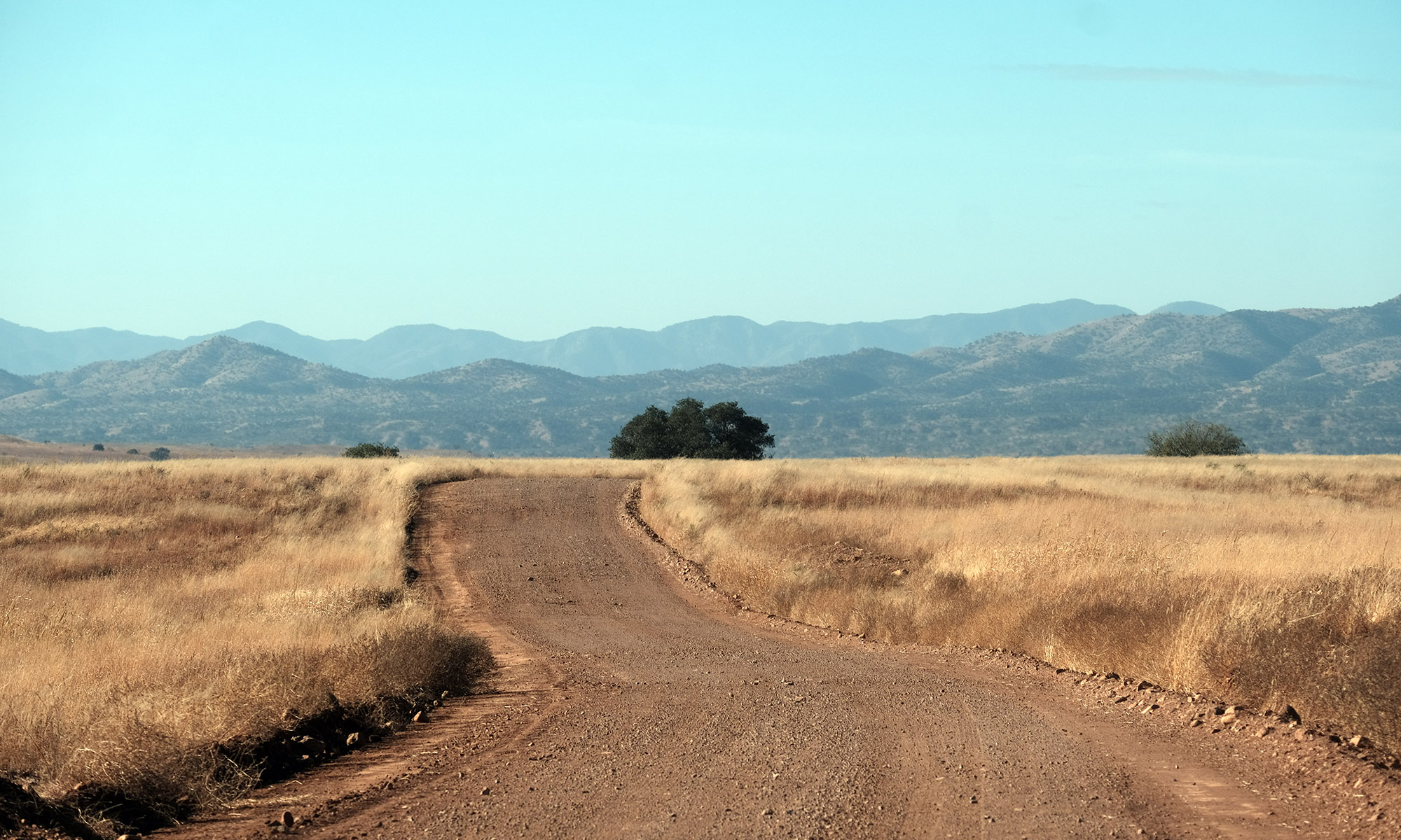
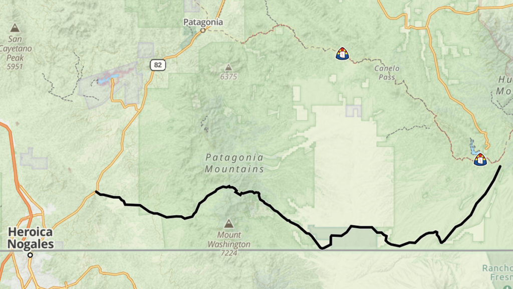
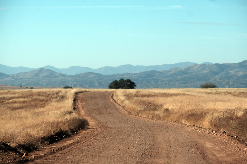
Coming from the east this route begins at the intersection of Montezuma Canyon Road and Duquesne Road (pronounced doo-KANE) south of Parker Canyon Lake in Southern Arizona. The graded dirt road travels across the open landscape of the desert with mountain ranges in the distance. The roads are generally in fairly good shape with a hard packed dirt surface and some loos rocks and gravel in patches.
Duquesne Road | Arizona
Aa you travel further you will soon be very close to the U.S./Mexico border, and there are opportunities to explore side roads where you can ride or drive right next to the old border wall fence itself. This section of the border wall remains unchanged with its normandy barriers installed decades ago, unlike the modern sections of wall erected in the last decade.
San Rafael Valley
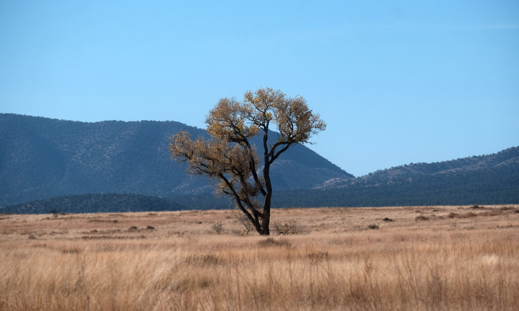
A highlight of this road is the San Rafael Natural Area, a protected area with some of the finest remaining native grasslands in the state. Today it is managed by the Nature Conservancy and Arizona State Parks. There are some historic buildings within the park, although they are not generally open to the public. Nonetheless, I’m always content simply to be able to travel through such a majestic landscape. The sense of peacefulness that I feel in the open grasslands with the mountain ranges in the distance is always a big part of the enjoyment that I feel on this road.
Southern Arizona Ghost Town
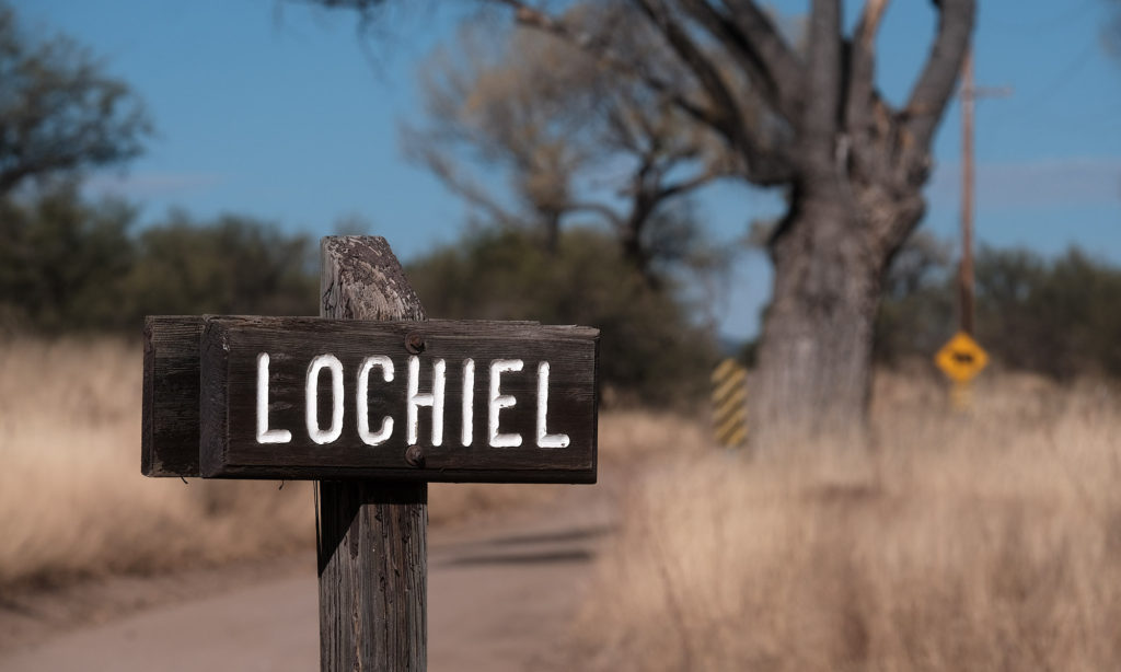
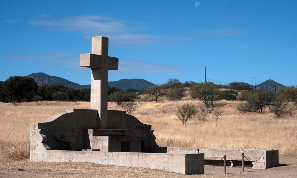
The road dips further to the south and almost touches the border in the old community of Lochiel. (pronounced Low keel). Lochiel was once a border crossing but it was closed in the 1980’s. A few people still live in the area and there is a roadside cross monument to Fray Marcos de Niza, a Spanish missionary and Franciscan friar. He is considered to be the first European to travel in what is now the state of Arizona, in 1539.
Spanish Explorer
Details
- Location: Southeast Arizona
- Distance: 36 miles
- Connects: Montezuma Canyon Road to Interstate 10 (north of Nogales, AZ)
- Difficulty: Easy
- Road Surface: paved, gravel
- Gas, Food & Lodging: The Jonquil Motel
- Camping: Coronado National Forest
- Season: Spring/Summer/Fall/Winter
Highlights
- San Rafael Natural Area
- Lochiel, AZ
- Fray Marcos de Niza Monument