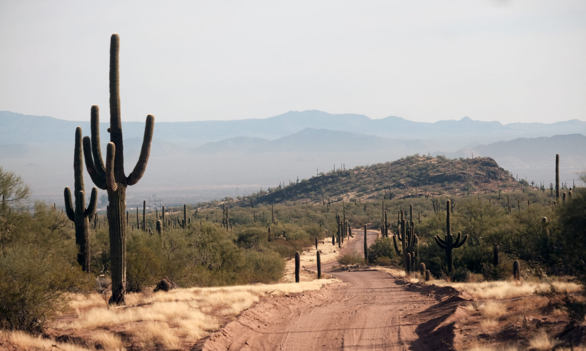
The Ironwood Forest National Monument is in the Sonoran Desert just south of I-10 between Phoenix and Tucson. The monument encompasses an area of 129,000 acres and it was created by Presidential Proclamation in 2000. The monument gets its name from the Ironwood Tree, one of the longest living in the deserts of Arizona.
Ironwood Forest National Monument | Arizona
This is an area that I have only just begun to explore. On my first trip, I spent a full day riding through the area making notes and taking pictures. I slept in my van at a remote campsite under a canopy of desert stars. It’s surprising how isolated the area feels, with the interstate not too far away.
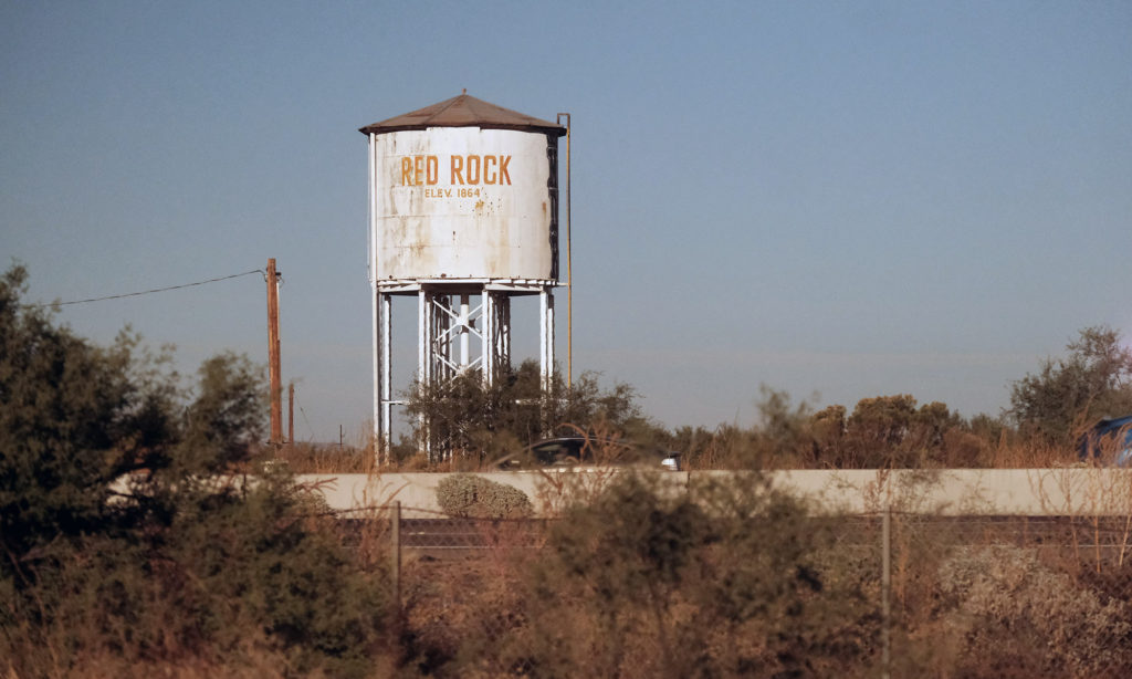
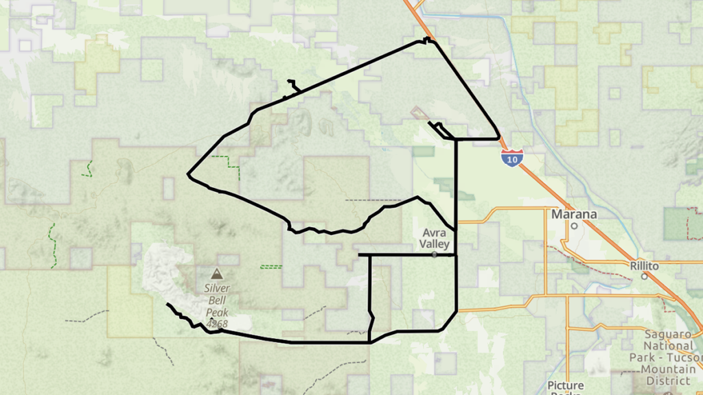
There are two main roads into the National Monument from Interstate 10, one from the Avra Valley Road and one from the Red Rock exit. The main road of travel through the monument itself is the West Silverbell Road, not to be confused with the Silverbell Road further to the south. Both roads get their names from the Silverbell mine that is located in the area. The West Silverbell Road is generally an easy, unpaved track through the monument and there are lots of side roads that look worthy of further exploration. I attempted to follow the West Avra Valley Road to Silverbell Road to the south, past the mine entrance, but I stopped part way through when the road became a little bumpier than I wanted to deal with in my van. I will return later on my motorbike for further exploration of Silverbell Road.
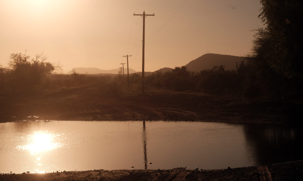
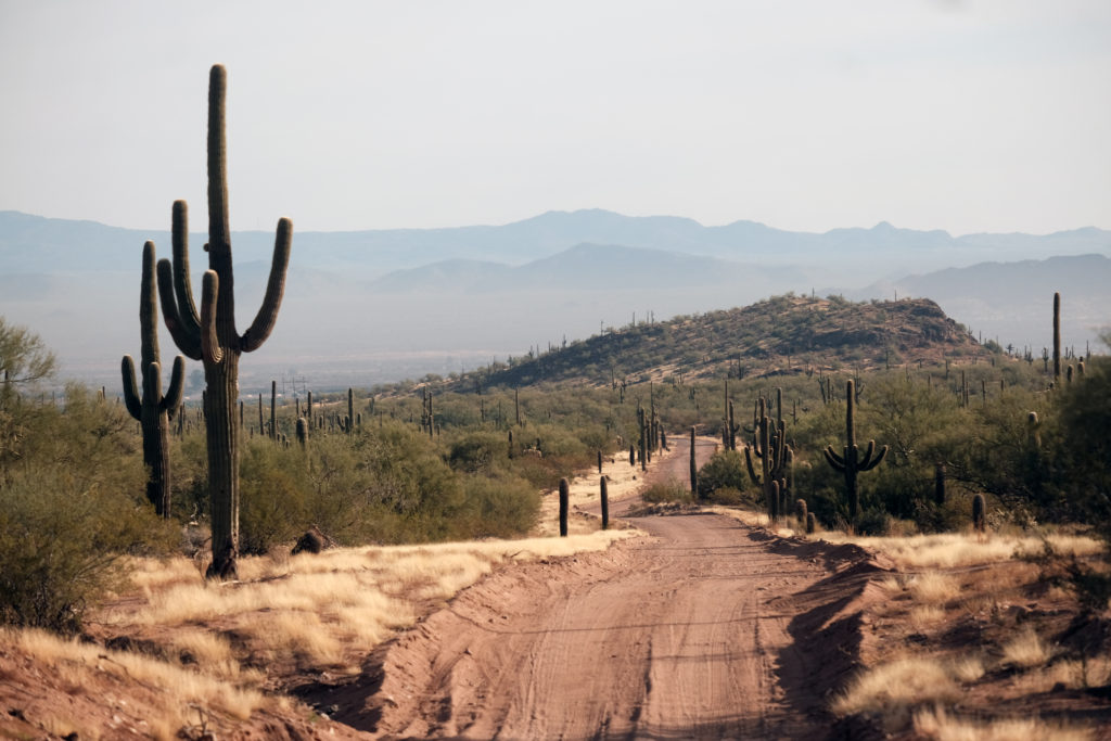
I did however drive the West Silverbell Road through the monument and it was an easy graded dirt road. After passing though some rural desert neighborhoods I was able to drive through an area with little or no development and I found a pleasant place to camp under the towering mountains in the distance.
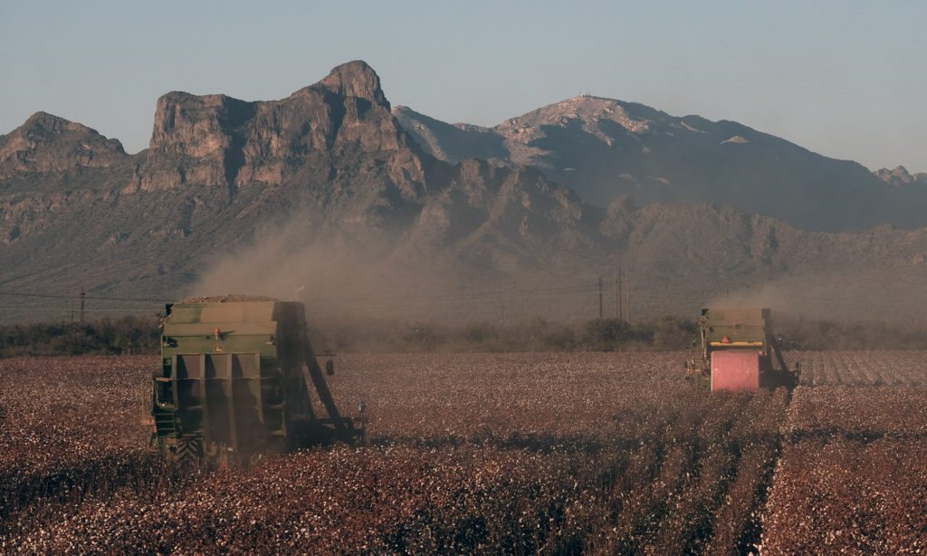
I noticed a large cattle ranch and cotton farms on Sasco Road, before crossing the Santa Cruz River which supplies water to these endeavors. This crossing could be impassable on a motorcycle or vehicle without four wheel drive. The historic Sasco Cemetery and Sasco ghost town were also points of interest along the way.
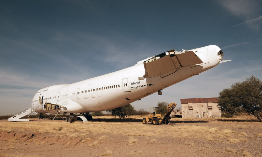
Another point of interest is the Pinal Air Park with hundreds of decommissioned airplanes, easily seen from the Interstate if you look for them. Although the air park is off limits to visitors it was interesting to look through the fence and see all of the planes parked next to each other. The Flightline Bar and Restaurant located in the area made for a good lunch stop and perhaps a cocktail before camping in the desert the next time I pass through the area.
In summary my visit to the Ironwood National Monument was relaxing and enjoyable and I plan on returning again soon. You could easily ride through a portion of this area if you wanted to get off the Interstate and experience something other than a highway, but I would suggest slowing down a bit and camping under the desert stars if you want to experience the true Sonoran desert magic.
Details
- Location: Southeast Arizona
- Distance: 90 mile track
- Difficulty: Easy
- Road Surface: paved, gravel, rocks, sand
- Gas, Food & Lodging: Marana
- Camping: Ironwood Forest National Monument, BLM
Highlights
- Ironwood Forest
- cattle ranches
- cotton farms
- Sasco Cemetery
- Sasco Ruins
- SilverBell Mine
- Pinal Air Park – old airplanes being decommissioned
- Flightline Bar & Restaurant